
Start with the work
Understand the environment and the decision before choosing the technology.
HelloGeo Technologies connects geospatial intelligence, autonomous systems and operational software for teams working with real places and assets.
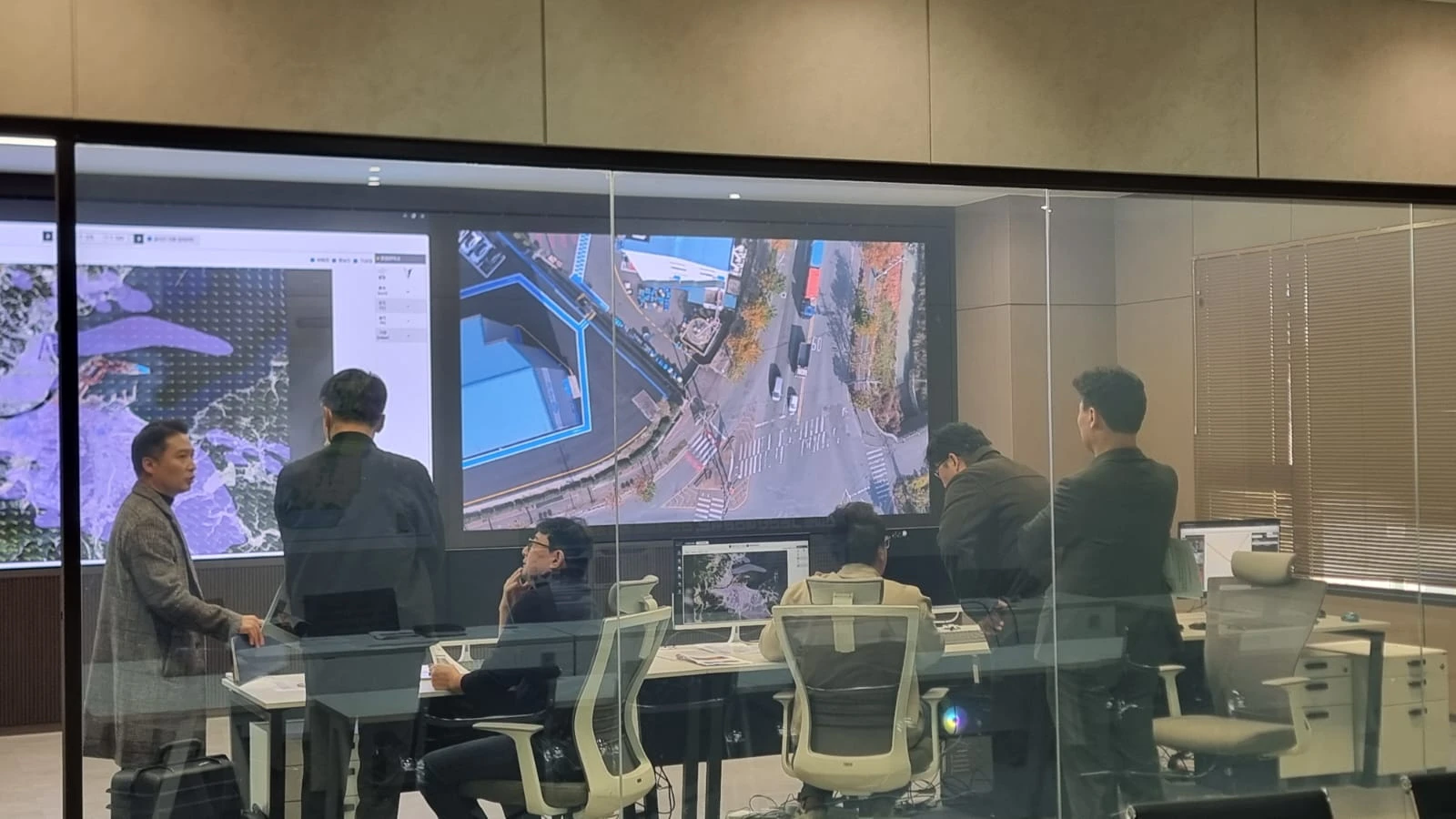
Information often reaches the person who needs it through several tools and hand-offs. Field observations, drone imagery, maps and operational records can each tell part of the story.
Our aim is to bring those pieces together.
We work across GIS, AI, drones, precision capture and command systems. The value is in what these connections make possible for your team.
Understand the environment and the decision before choosing the technology.
Preserve location, time, source and responsibility through the workflow.
Design around the operator, surveyor and team reviewing the result.
Define acceptance criteria and test the complete deployment with representative inputs.
Your team knows the site. We know the spatial workflow. Together, we can define a practical way forward.